We have significant experience assisting government agencies with developing criteria for the reporting of ground water monitoring well surveys and developing procedures for the submission of electronic wetland application drawing files.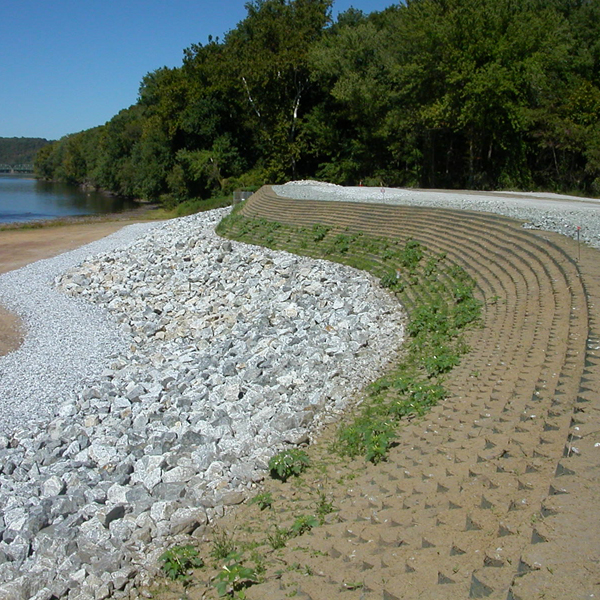
We are involved in everything from investigation and remediation of Superfund and Brownfield Sites to the creation of new freshwater, coastal and tidal wetlands. More than most any other surveying firm, Borbas understands the language and needs of the environmental scientist, engineer, compliance officer and licensed site remediation professional.
This expertise has been especially beneficial to our waterfront clients, who were forced to contend with repercussions from Hurricane Sandy. These repercussions included challenges such as large petroleum tanks floating from their pedestals and pumps, as well as electrical transformers being heavily damaged or destroyed. In addition, as a result of the storm, FEMA changed base flood elevations and we have been instrumental in helping clients understand and meet revised FEMA guidelines so they can rebuild their infrastructures to be in full compliance as well as to protect their investments.
Of course, this is not the full extent of what we can offer when it comes to environmental mapping. We are also adept at creating drainage and land use (DLU), topographical maps and General Site Plans (GSP) that can be used for a Discharge, Prevention, Containment and Countermeasure (DPCC) plan submission.
Part of our extensive knowledge in these areas comes from our active involvement with, and support of, the Licensed Site Remediation Professional Association and the Environmental Business Council of the Commerce and Industry Association of New Jersey.
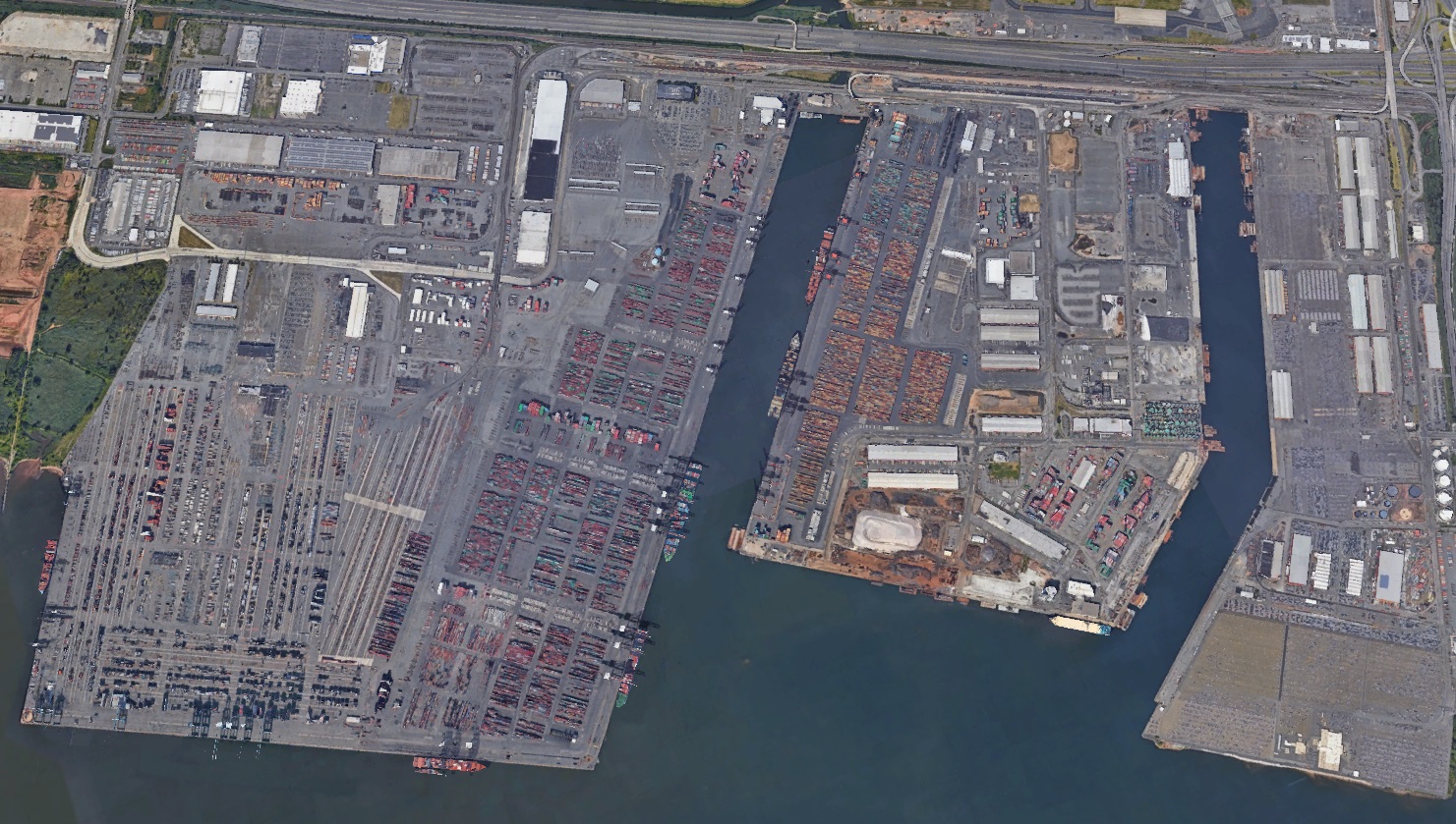 Industrial and commercial facilities are constantly changing and being improved, due in part to the need to continually satisfy government regulations. So whether it be to help facilitate an improvement or to create an emergency disaster plan, we have the capability to map facilities that can serve any number of client purposes.



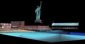

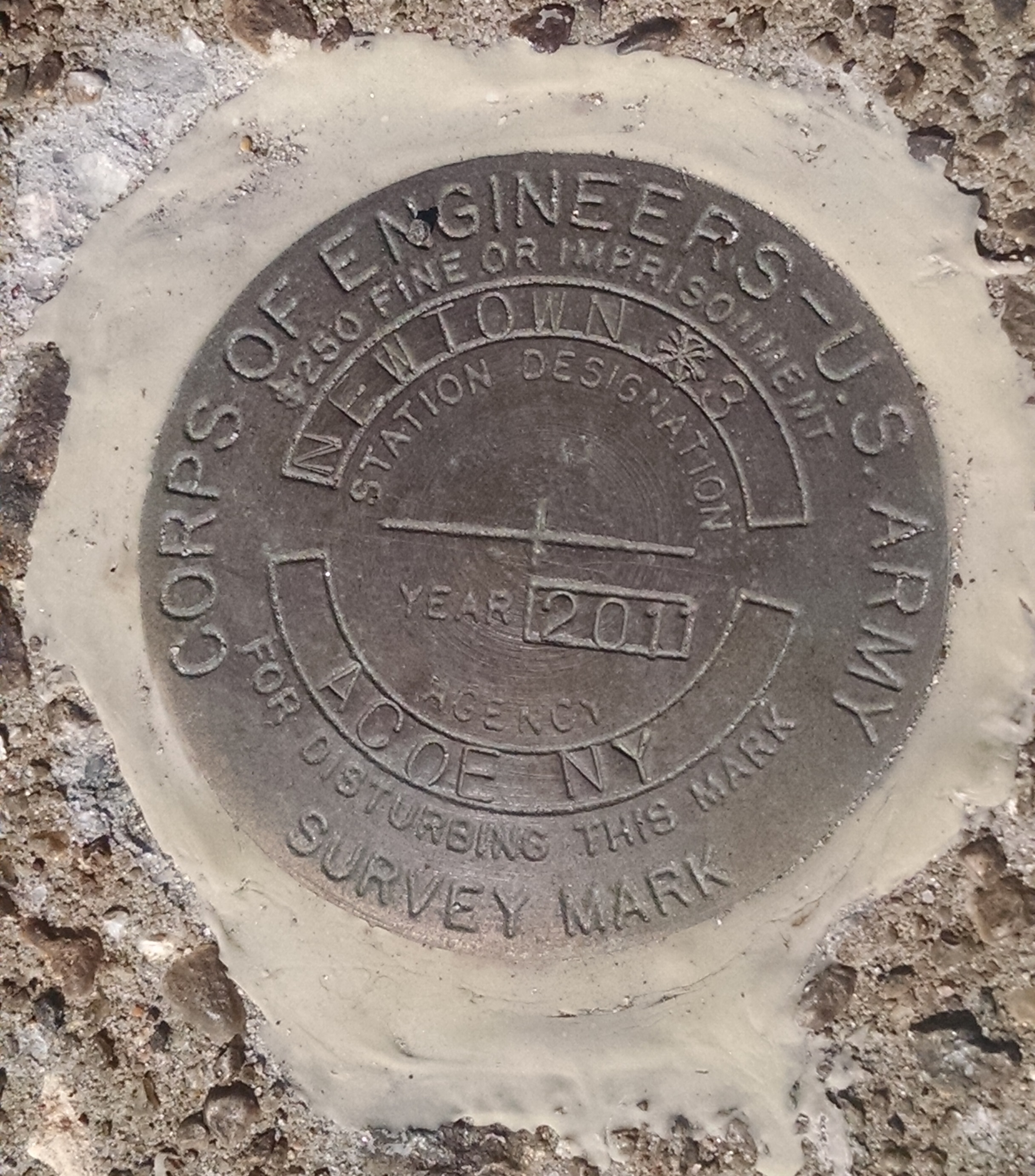

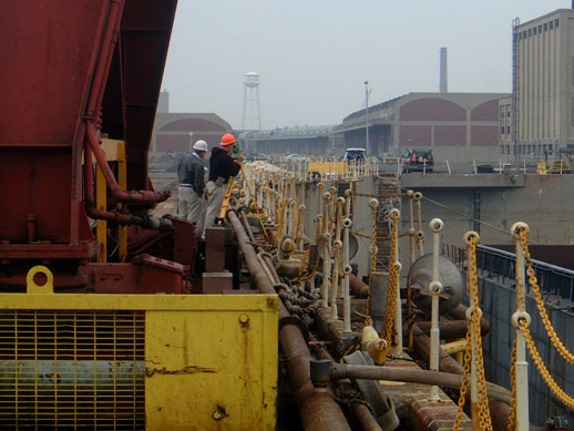 Ships, barges, buildings, tanks and walls…Borbas has worked on them all to provide the precise measurements and mapping engineers need for a variety of reasons:
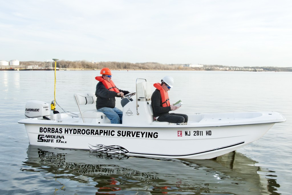 Our surveying offerings extend to those lands flowed by both fresh and salt water. Our hydrographic skiff is equipped with a real-time kinematic (RTK) GPS/GNSS antenna mounted directly above the sonar sensor so we can provide real-time elevations in NAVD88 or your particular project datum. As a result, we can effectively offer underwater topographic surveys of watersheds including rivers, ponds, lakes, reservoirs, bays and harbors.